%20small.png)
Automating Construction Packages
- Ashlyn Stonge
- Mar 8, 2024
- 2 min read

The more we learn about the pole attachments process and make ready engineering, the more obvious it is that we need quality communication between engineers and construction workers.
We do so much to ensure safety in our engineering designs. It’s essential to clearly communicate those safe designs to the folks building them out.
Teams have to determine how much data to include and how to include it in a way that construction crews can easily digest and execute. Engineering firms also have their own structure to export to ensure their deliverables meet their standards. Communicating these plans is key to bridging the divide between engineering and construction.
Communication in general can be hard, but leveraging detailed and intricate engineering plans for implementation is even harder.
There tend to be two main options when trying to do this— CAD prints or GIS deliverables.
CAD (Computer-Aided Design)
CAD prints are mock-ups of designs, with detailed notes.

Pros:
Allows engineers to create 2D or 3D models of engineering designs.
Provide readable plans for crews to follow.
Detailed graphics with tombstones (text boxes to provide more info).
Cons:
Takes a ton of time to complete.
Demands multiple people to assist in creating.
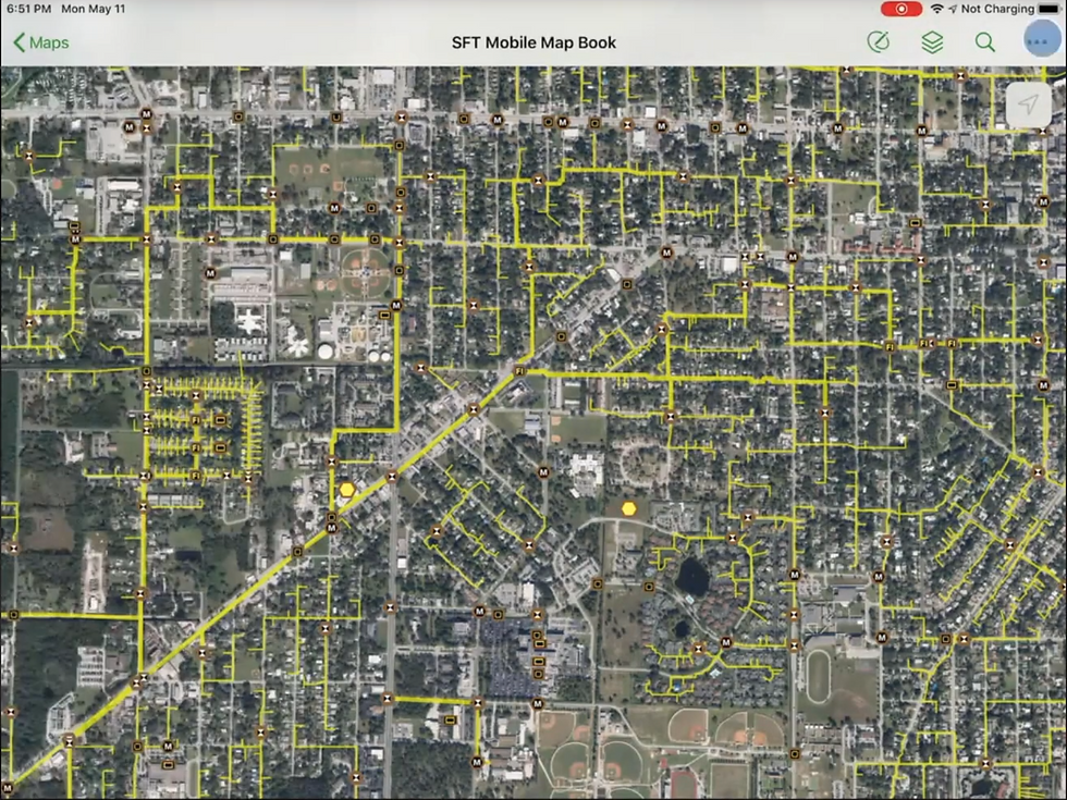
GIS (Geographic Information Systems)
GIS exports are data sets representing geographic attributes and coordinates that are typically part of an automated data dump from a master system of records.
Pros:
Leverages coordinates, attributes, and geographic data.
Provides highly detailed, hard data (similar to blueprints).
Cons:
Not always readable for humans.
Can be hard to download for offline field use.
Technically, both of these options work for curating construction deliverables. However, neither of them offers the best solution for communicating between engineering and construction.
CAD takes a ton of work to get right, draining time and people. GIS doesn’t always highlight the right details and can be hard to read for humans.
A solution requires some elements of both. By providing CAD elements and layers on top of GIS details, companies can personalize what information is shared, the formatting, and the language used. The deliverable is familiar to both engineers and construction crews, but it doesn’t require the time-consuming work of copying engineering designs onto CAD prints.
Plus, it lets those folks who are used to CAD keep those features and create exports that read the way teams are used to. It minimizes repetitive clerical work, too, and is simple enough that teams just starting out can learn quickly.
Communication between engineering and construction is key. We do so much good work to ensure the engineering is high quality to build better relationships with pole owners. We can’t afford to drop the ball with our construction exports.
We combine the automation of GIS exports with simple annotation editing tools to make sure you get the readability of a cartographic solution with the time savings and automation of real-time GIS. You can easily edit the legend, colors, and even upload an SVG mask over your construction packages to maintain your current CAD standards while using Katapult Pro.
Interested in learning more about this solution? Be on the lookout for Katapult Pro updates, or reach out to us to chat about Katapult Pro software!


Comments